


Geo-Enabled Decision Support Solutions
Demystifying and contextualizing data volumes for improved and inclusive governance.
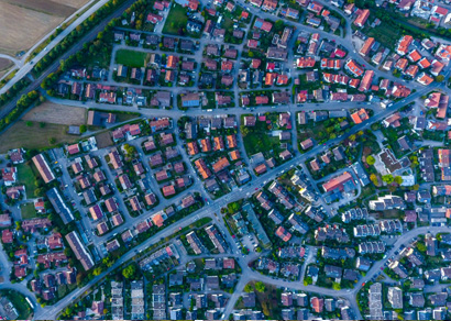
In a connected world, geospatial technologies are shepherding a new era of contextualized environments by bringing together multiple disciplines on an unified environment, for better understanding of the situation...

Geo-Data Content Solutions
Ensuring “fitness to purpose” of data and processes for timely and accurate decisions.
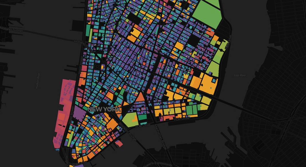
Governments rely on authoritative geospatial content for decision making and policy formulation. Need for acquiring, processing, and bringing together diverse types of spatial and non-spatial data ...
Geo-Data Quality Solutions
Ensuring “fitness to purpose”of data and processes for timely and accurate decisions.
Governments need high-quality geo-data that is accurate and reliable for making critical decisions.Lineage, positional accuracy, attribute accuracy, logical consistency and completeness are important ...